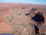
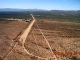
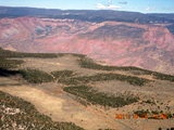
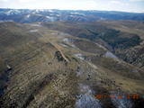
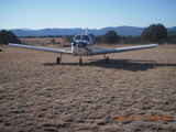
It didn't start off as a quest.
I was a pilot who liked to fly my airplane,
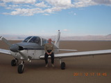
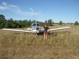
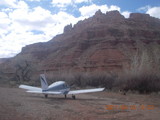
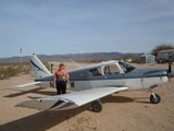
a plain-Jane Piper Cherokee,
all over the place.
I lived in a bunch of different places
and pretty soon I noticed that I had landed
at a whole bunch of different
airports.
When I became interested in
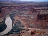
back-country flying,
that list grew longer and more interesting.
By 2009 September,
I realized I was an airport collector.
My 400th airport was Chandler (CHD)
and I have stayed interested in flying to new places.
A trip to Pullman, Washington, was a chance to add three states,
Washington, Idaho, and Oregon,
to my logbook.
Recently, a trip to Ohio gave me a chance to add Michigan
to my states list along with six new airports.
On 2012 April 21 I landed at Bouse, Arizona,
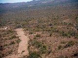
a lovely dirt strip, my 500th airport,
airstrip, or other kind of landing site.
Some communities are delightfully organized.
Galin Hanselman wrote a back-country-airstrips book,
Fly Idaho!,
very nice I'm told, but I don't fly that way.
When he added Fly Utah! I bought a copy
and it stays in my airplane alongside the Flight Guide
(that used to be the little black book of airports).
Airstrips are not only listed, mapped, diagrammed, and photographed,
they're also marked with green, yellow, and red
to indicate runway condition.
With a Cherokee rather than a Husky, I keep to the green airstrips.
Even with Fly Utah!
and the Utah Back-Country Pilots (UBCP),
I've still found out about new airstrips up there by word of mouth.
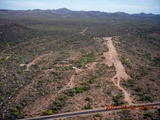
Arizona is tougher on the airport explorer.
There isn't a fat book of back-country airstrips.
I've found a few friends who know neat places to land
and they've been very generous to me in my airports quest.
The New Mexico Pilots Association has been super helpful as well.
My one-and-only overnight-fly-in experience was at
Negrito, New Mexico,
a truly delightful grass airstrip at 8100' MSL.
I learned what elk sound like at night
and saw a stars-only night sky
brighter than any I've seen at Bryce Canyon.
I also keep my ear open for fly-in events at private strips.
I got to Mogollon Airport (AZ82),
La Cholla, and Pegasus (5AZ3) that way.
I'm still waiting for somebody to invite me
to Sky Ranch at Carefree (18AZ).
It doesn't hurt to know my airplane,
especially at short, high-elevation airstrips on warm days.
It also doesn't hurt to know the airstrip,
best to go once or twice with somebody who knows them.
Are there trees to clear (Moon Ridge or Cedar Mountain)?
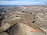
Is there a narrow-canyon approach (Hidden Splendor)?
When would a go-around attempt
be a bad idea (Red Creek or Monument Valley)?
How turbulent does it get in a crosswind (Sand Wash)?
Which parts of the runway are good surface
and which are best saved for emergency use (Mexican Mountain)?
Which airstrips tend to get
flooded
(Mineral Canyon)?
Cows grazing on airstrips tend to stay there
and can require repeated "buzzings"
to clear the runway (Browns Rim).
Another airport-collector choice is
using the myriad public, paved strips
to be found all over the place.
Generally, as a rough rule of thumb,
doubling the flying radius roughly quadruples the landing choices
(something about the area going
as the square of the radius of a circle).
Once you get to an airport or airstrip,
there are lots of choices.
Some have restaurants,
some have recreational opportunities like fishing and camping,
some have gorgeous hikes (or places for
runners
to stretch their legs),
and some are just worth experiencing the landings and takeoffs.
THE ADAM HOME PAGE
adam@the-adam.com
