|
|

|

|

|
|
|
|
|
|
|
|
|
|
That was then, this is now, three years later. What was good has become better, the old trails are better and there are wonderful new trails. Check out the McDowell Sonoran Conservancy web site for details and event schedules.
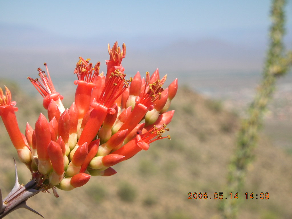
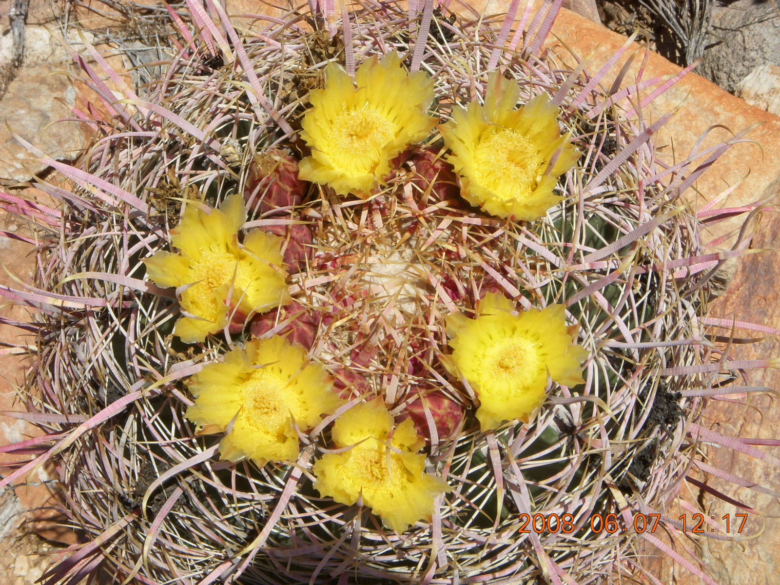
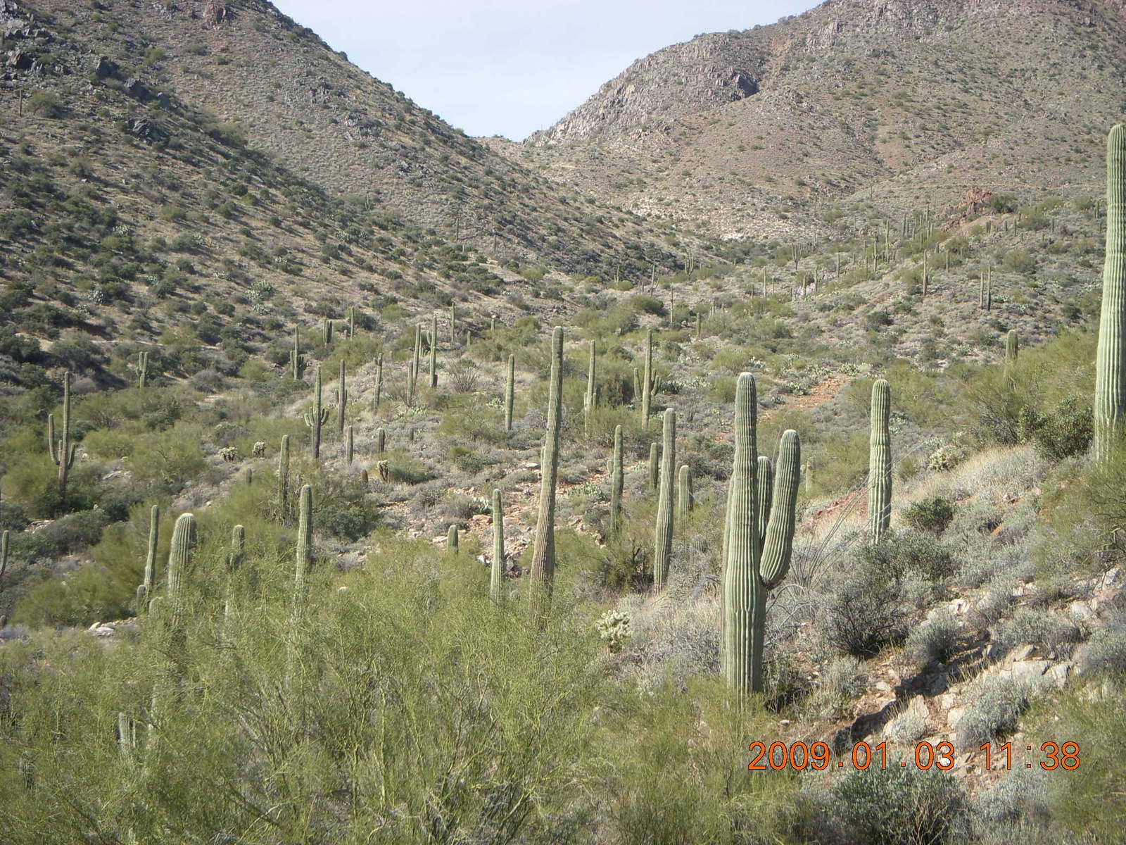
I'm not surprised that there are incredibly beautiful places that are commensurately remote. I spend significant effort flying to these places and enjoying them vigorously. I'm pleasantly and effusively joyfully surprised to have this kind of beauty so close to my suburban home in Scottsdale. I'm especially delighted to have the City of Scottsdale and the McDowell Sonoran Conservancy aggressively working to make these spaces accessible to hikers, runners, mountain bikers, and equestrians while retaining their beauty and solitude.
On a philosophical note, one of the joys of these beautiful places is the challenge associated with experiencing them. We want the experience to be hard for two reason. If it's too easy, then it will be crowded like mid-day on the Bright Angel trail at the Grand Canyon. Requirement of physical effort to enjoy these trails keeps out those who don't think it's "worth it" and leaves us with solitude interrupted by occasional travelers making the same physical sacrifices we are.
The second reason we want the experience to be hard is bragging rights. Maybe it's a "guy thing," but part of the joy of doing something difficult is the sense of achievement associated with it. We ran marathons and then found ourselves doing all-day triathlons. The hike up Bell Pass, then up East End, and down Tom's Thumb took me six hours with snack breaks, 20 Km (twelve miles). The effort itself was satisfying above and beyond the view. We want the effort to be hard, but not too hard.
|
| |
| ||
|
|
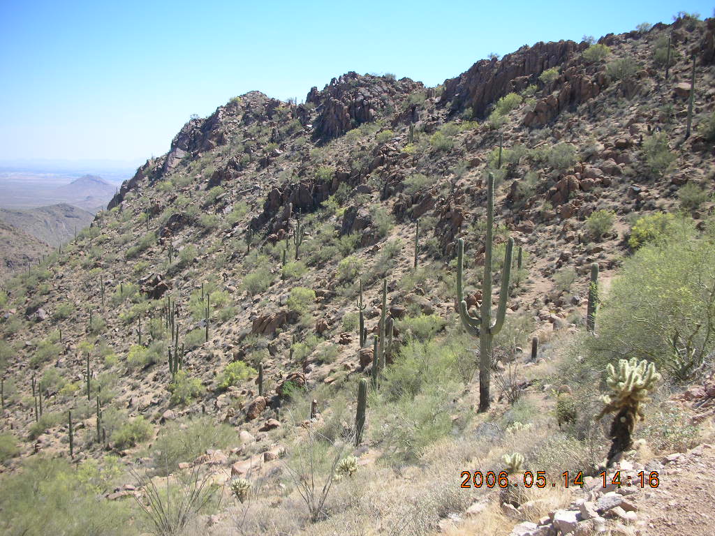
 When I first discovered Scottsdale's conservancy trails in 2004
then the McDowell Sonoran Land Trust,
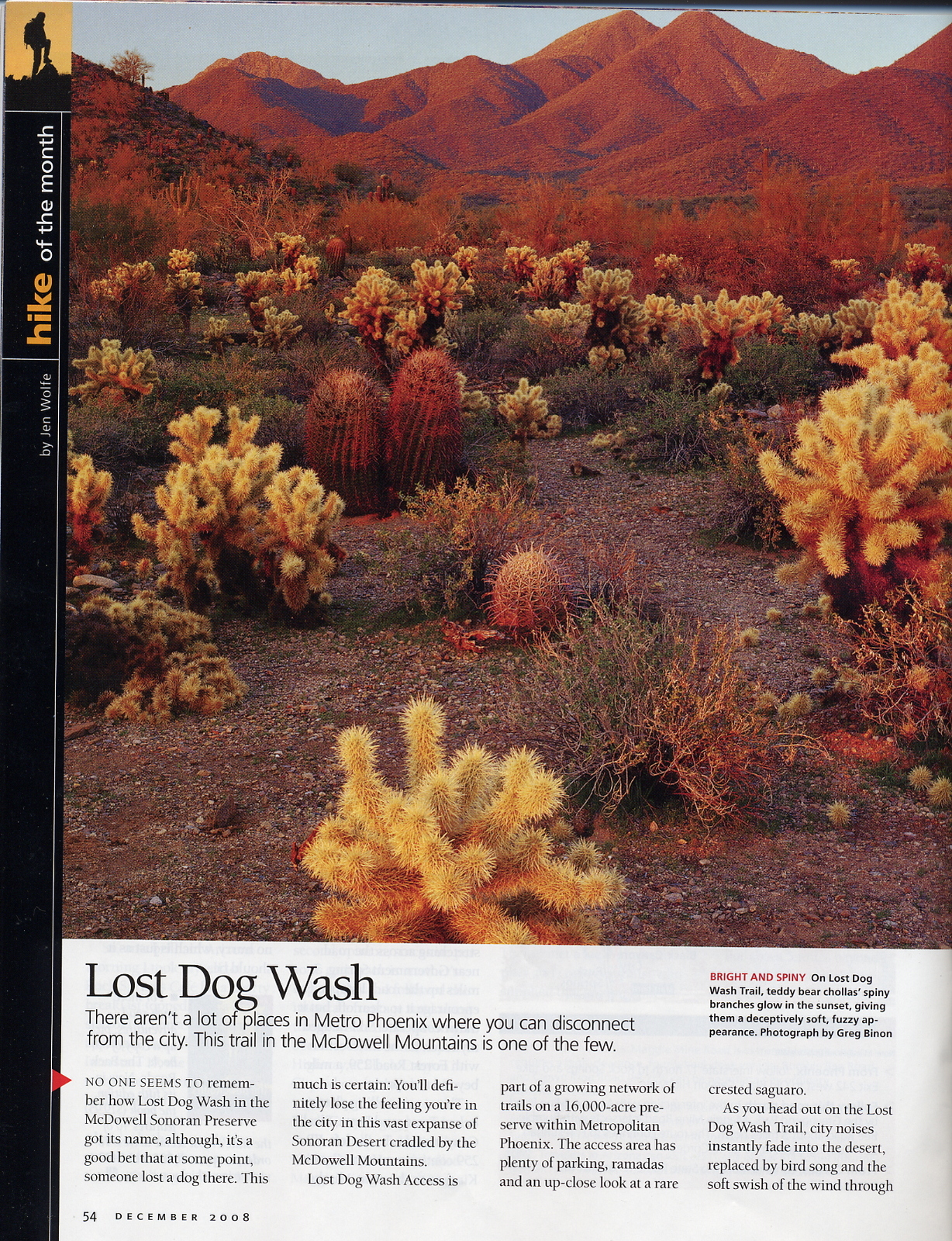
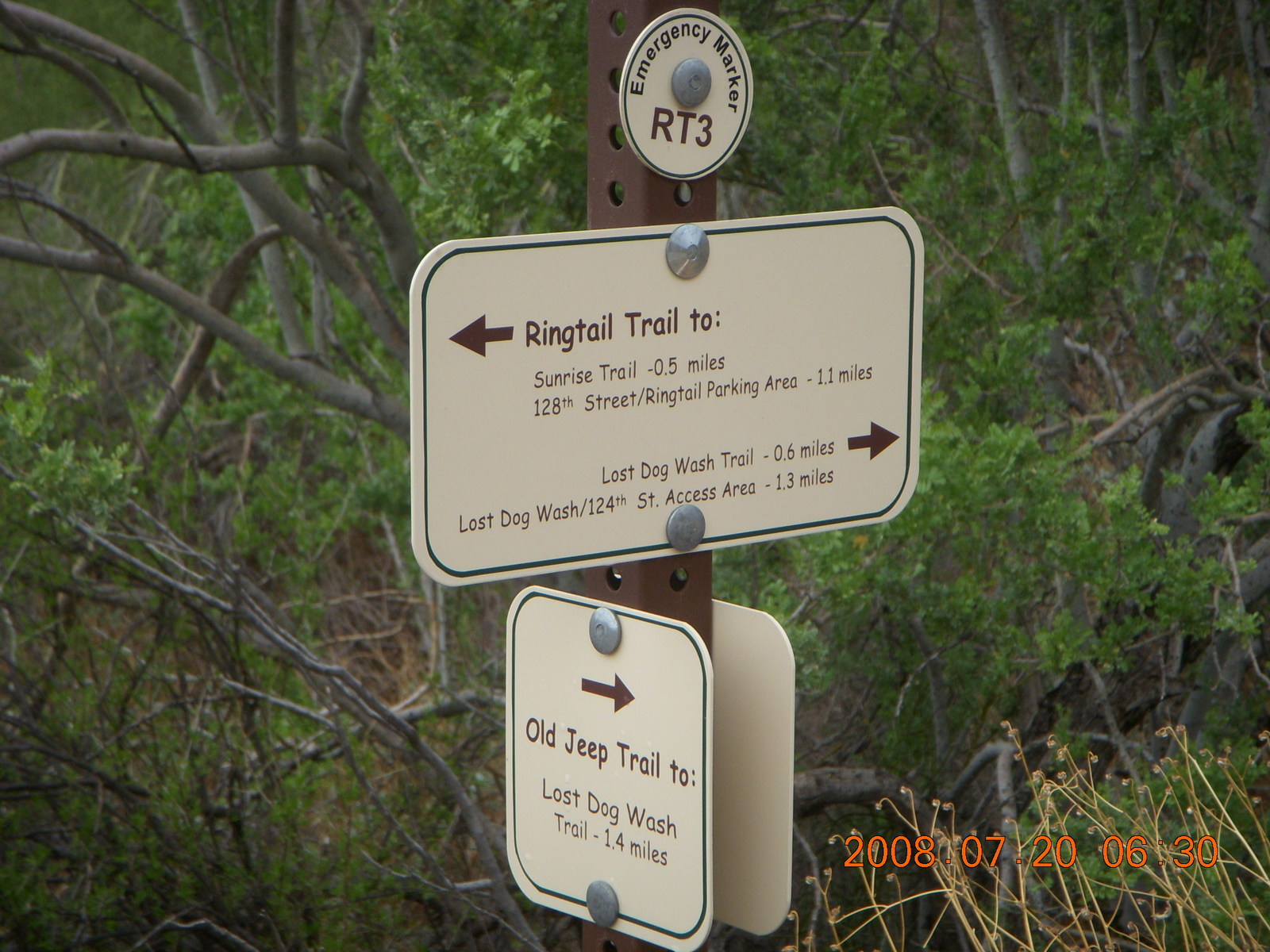
there was only the Lost Dog Wash trail, not well marked.
By 2006 the Lost Dog Wash trail was well marked with
bright, cheery, comprehensive signs pointing the way.
The old jeep road became the scenic, winding Ringtail trail
with vista views of micro canyons.
The combination makes a nice 5 Km loop with great views.
Extending the loop north on Lost Dog Wash
goes through desert vegetation to a decent jeep road
that takes the traveler up to Taliesin Overlook
and down to the Quartz trail.
For a runner with modest footing ability,
the combination of Lost Dog, Ringtail, and Quartz
make a round-trip-plus-loop of 15 Km (nine miles),
more if I'm willing to follow the Quartz-trail wash.
When I first discovered Scottsdale's conservancy trails in 2004
then the McDowell Sonoran Land Trust,
there was only the Lost Dog Wash trail, not well marked.
By 2006 the Lost Dog Wash trail was well marked with
bright, cheery, comprehensive signs pointing the way.
The old jeep road became the scenic, winding Ringtail trail
with vista views of micro canyons.
The combination makes a nice 5 Km loop with great views.
Extending the loop north on Lost Dog Wash
goes through desert vegetation to a decent jeep road
that takes the traveler up to Taliesin Overlook
and down to the Quartz trail.
For a runner with modest footing ability,
the combination of Lost Dog, Ringtail, and Quartz
make a round-trip-plus-loop of 15 Km (nine miles),
more if I'm willing to follow the Quartz-trail wash.
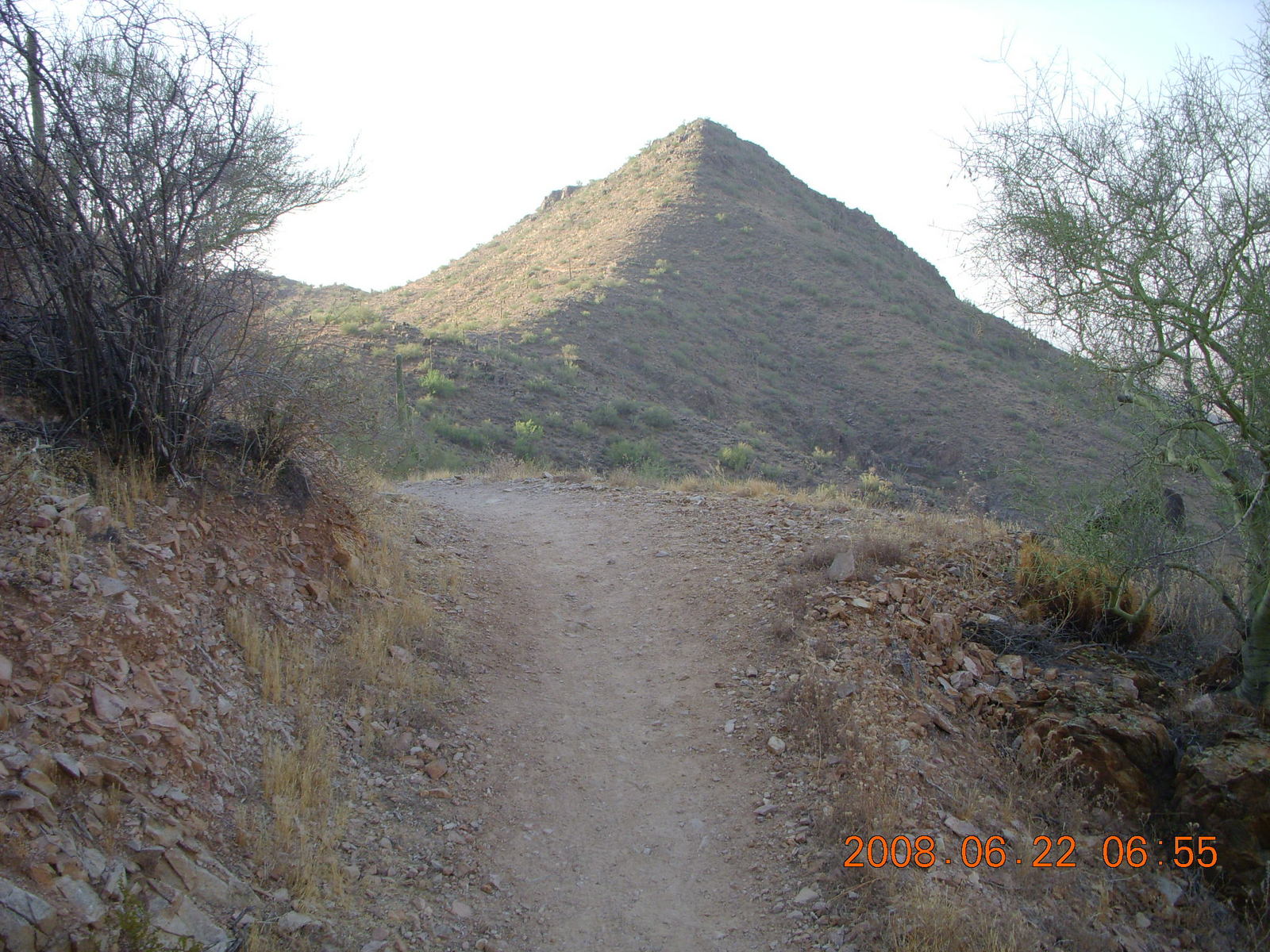
A new trail was added that goes up from the Ringtail trail up Sunrise Mountain called, not surprisingly, the Sunrise trail. Switchbacks and vista views of Scottsdale give way to rolling mountain views between passes up to the top of Sunrise and then down to Fountain Hills. From trailhead to trailhead (isn't one really a trailtail?) is about 8 Km (five miles).
 Around the same time, the rough and rocky jeep road
was redone into a nice trail connecting Lost Dog Wash
near the Taliesin Overlook to the Ringtail trail.
It makes a nice loop with some intimate views
of the desert scenery and hills.
Around the same time, the rough and rocky jeep road
was redone into a nice trail connecting Lost Dog Wash
near the Taliesin Overlook to the Ringtail trail.
It makes a nice loop with some intimate views
of the desert scenery and hills.
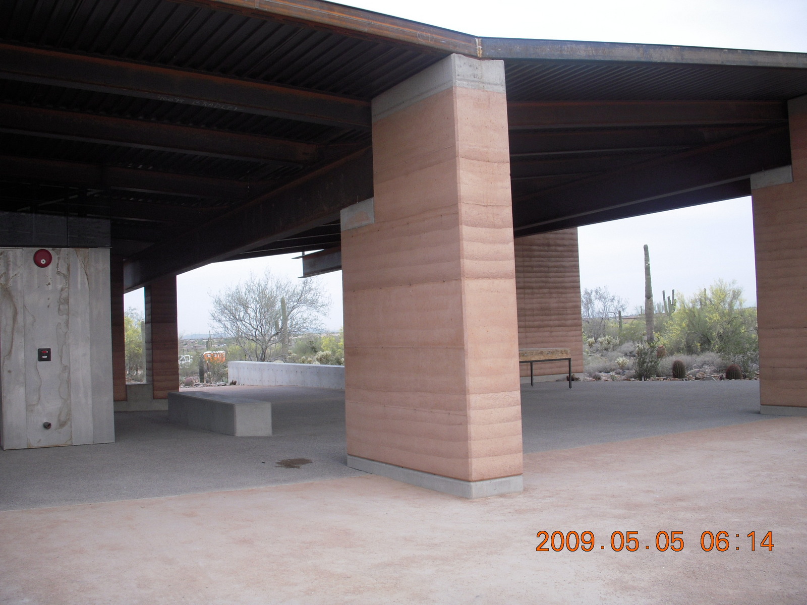
These trails were glorified with a wonderful Lost Dog Wash trailhead facility at 124th Street with nice restrooms, a covered outdoor atrium, and an "amphitheater" with a lovely area for a gathering. (When my company had German colleagues moving to the United States for an extended stay in Scottsdale and when I had guests visiting from England, I took the families to this amphitheater for a welcome picnic. It's a lovely place in the desert right near the parking lot.)
Who could ask for anything more?
| ||
|
| |
|
 Ask or not,
the City of Scottsdale and the
McDowell Sonoran Conservancy (MSC)
got busy on some new trails.
Circumstances put the heart before the course
and the trails went in before the trailhead.
We used the DC Ranch health club
along the Horseshoe trail as our temporary trailhead.
Ask or not,
the City of Scottsdale and the
McDowell Sonoran Conservancy (MSC)
got busy on some new trails.
Circumstances put the heart before the course
and the trails went in before the trailhead.
We used the DC Ranch health club
along the Horseshoe trail as our temporary trailhead.
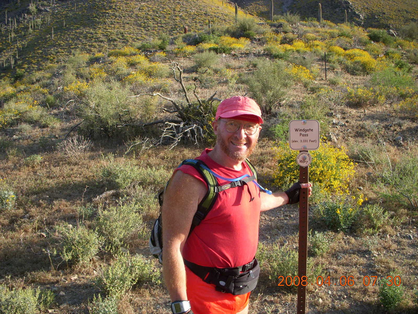
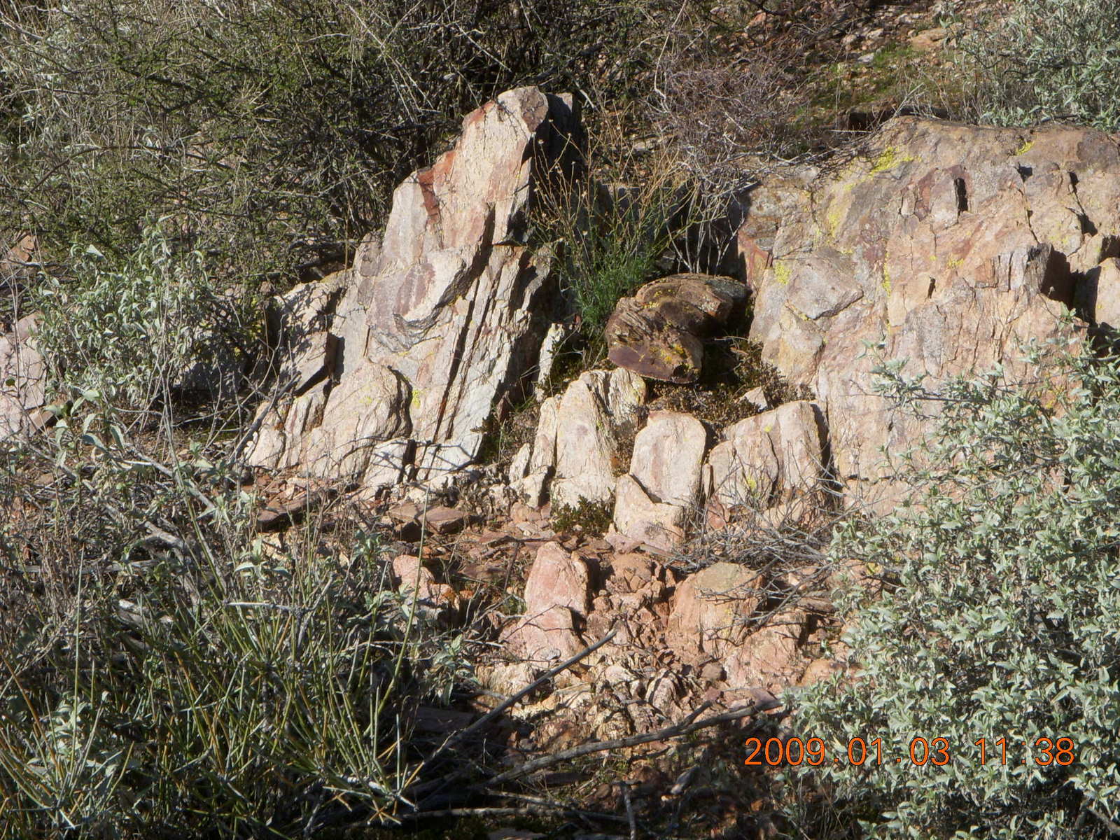
The first of the new, north trails was the Windgate trail, a 13 Km (eight mile) hike from 500 to 900 meters (1700 to 3000 feet) elevation change. The trail wanders along the side of a canyon with changing rock colors along the way. There is a subtle view of the Silverleaf housing development where the houses are colored and the trail positioned for minimum visual impact. The trail goes around a turn to its Inspiration Point with increasing views and elevation to Windgate Pass.
 Another new trail is the Bell Pass trail
that runs south of Windgate.
There's a connecting trail on the far side of the passes
and another crossover to make
a nice 18 Km (eleven mile) loop.
Throw in two kilometers (a mile) on the Prospector trail
and the loop is 20 Km (twelve miles).
It's a great hike and I've taken several friends on it.
Another new trail is the Bell Pass trail
that runs south of Windgate.
There's a connecting trail on the far side of the passes
and another crossover to make
a nice 18 Km (eleven mile) loop.
Throw in two kilometers (a mile) on the Prospector trail
and the loop is 20 Km (twelve miles).
It's a great hike and I've taken several friends on it.
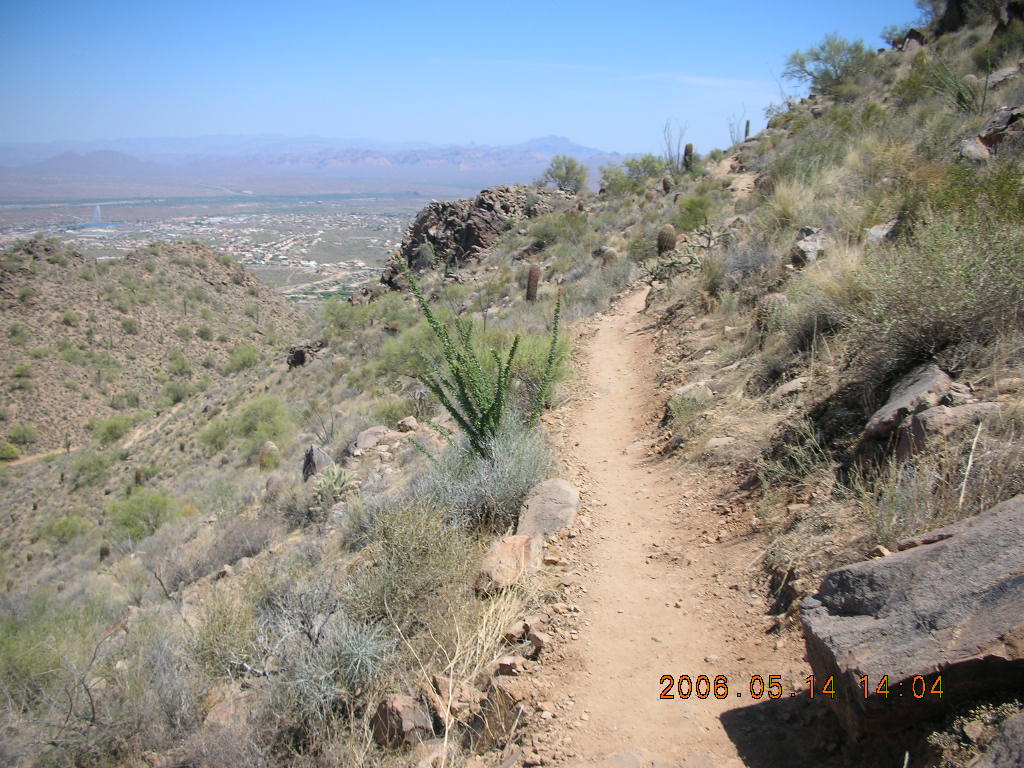
There's a notable rock formation on the north end of the McDowell Mountains called Tom's Thumb and now there's a trail going up there. It was first accessible via the Horseshoe trail that goes through a housing development, a nice out and back hike from 500 to 1160 meters (1700 to 3800 feet) elevation change. There's a north extension to the Tom's Thumb trail that goes to a future trailhead on the other side.
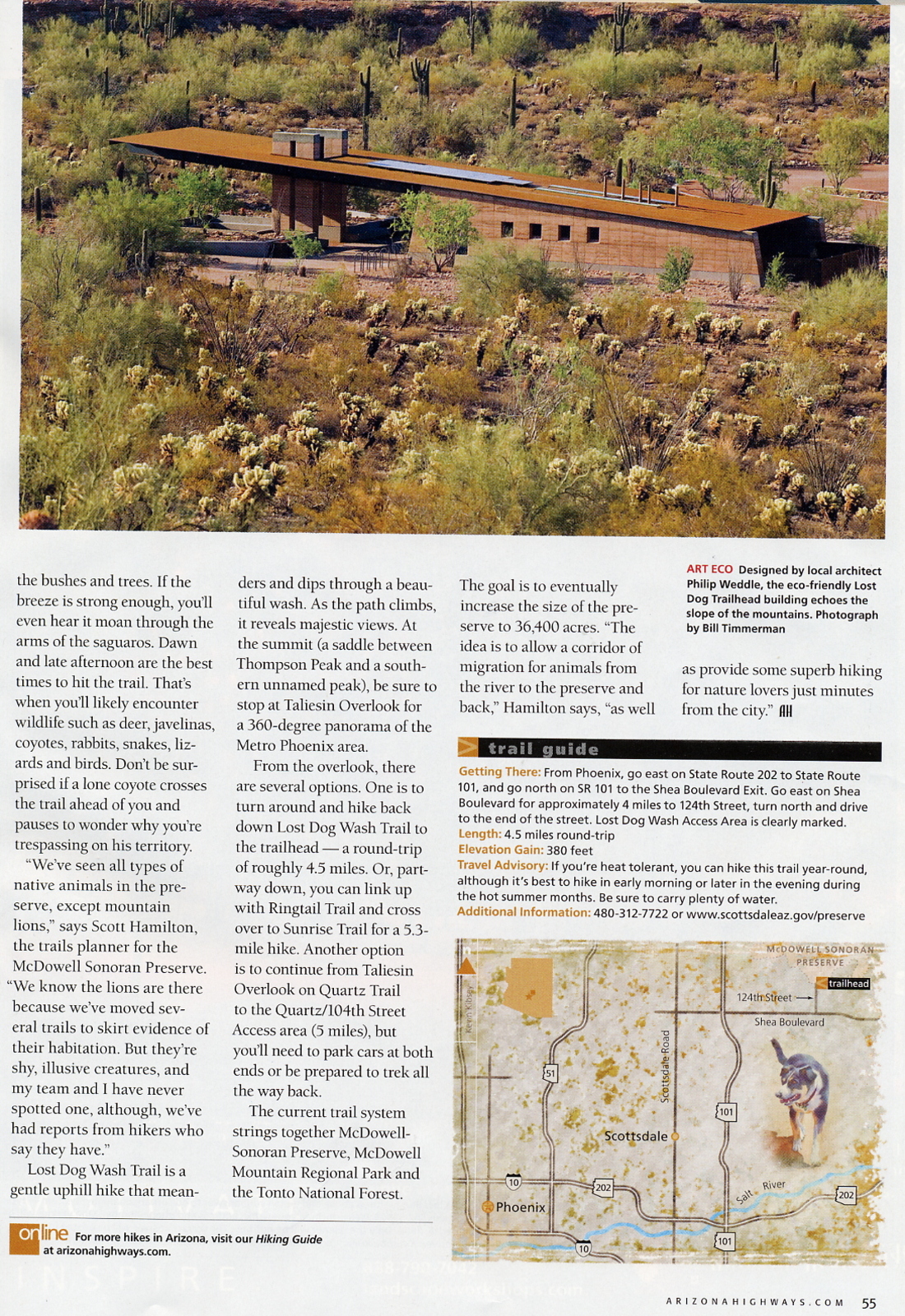
On 2009 May 2 the MSC had its grand opening for the new Gateway trailhead facility, larger and fancier than the Lost Dog Wash trailhead. There is another atrium, another amphitheater, and a lovely 500 meter (0.3 mile) Saguaro loop trail. The trails form nice loops from the new Gateway trailhead.
 There was quite some fuss over the Gateway trailhead.
As I heard the story,
Toll Brothers wanted to build homes in the preserve area,
the city of Scottdale wanted some of that land for the Gateway,
Toll Brothers bought all the land including the Gateway area,
Scottsdale tried to buy the land back for the Gateway,
and Toll Brothers raised the price a lot more than Scottsdale expected.
There was a nasty court case,
the City of Scottsdale lost,
and they paid Toll Brothers for the land.
The local media reported the trailhead cost $91 million
which was the total cost of the land,
not just the trailhead.
That misrepresentation caused some outrage.
There was quite some fuss over the Gateway trailhead.
As I heard the story,
Toll Brothers wanted to build homes in the preserve area,
the city of Scottdale wanted some of that land for the Gateway,
Toll Brothers bought all the land including the Gateway area,
Scottsdale tried to buy the land back for the Gateway,
and Toll Brothers raised the price a lot more than Scottsdale expected.
There was a nasty court case,
the City of Scottsdale lost,
and they paid Toll Brothers for the land.
The local media reported the trailhead cost $91 million
which was the total cost of the land,
not just the trailhead.
That misrepresentation caused some outrage.
The most-recent addition, at least the most recent I know of, is the East End trail that climbs from the Windgate trail on the far side of Windgate Pass up to Tom's Thumb from 800 to 1100 meters (2550 to 3600 feet) elevation change. At the top there are side trails to the Tom's Thumb rock itself and to a lookout over Windgate Pass.
|

|
|

|
|
|

|

|
|
 In just five years a nice little Lost Dog Wash trail in the desert
grew into a nice little network with Ringtail, Sunrise,
and the connecting jeep road
and then into a major trail system with
major, all-day hiking adventures.
From the new trailheads there are fantastic loops
15, 20, 25 Km (ten to fifteen miles)
for hikers, mountain bikers,
and runners whose trail-running skills are better than mine.
In just five years a nice little Lost Dog Wash trail in the desert
grew into a nice little network with Ringtail, Sunrise,
and the connecting jeep road
and then into a major trail system with
major, all-day hiking adventures.
From the new trailheads there are fantastic loops
15, 20, 25 Km (ten to fifteen miles)
for hikers, mountain bikers,
and runners whose trail-running skills are better than mine.
 They say a liberal environmentalist
wants no access, houses, or trails
to keep everybody out of the beautiful places
while a conservative environmentalist
wants just one house for himself.
The skill in managing environmentally-sensitive, beautiful landscapes
is making them accessible to a lot of people who want to see them
without destroying the beauty those people came to enjoy.
The United States National Park system makes these tradeoffs
with some trails busy
like Bright Angel at the Grand Canyon
and some that I don't have to share
like the Lathrop trail at Canyonlands.
The MSC trails are busy on the weekends
for the first 800 meters (half mile)
on nice mornings and cool afternoons.
Further out there I still see hikers,
maybe one or two per hour,
as I bask in the vista views
of the McDowell Mountains.
They say a liberal environmentalist
wants no access, houses, or trails
to keep everybody out of the beautiful places
while a conservative environmentalist
wants just one house for himself.
The skill in managing environmentally-sensitive, beautiful landscapes
is making them accessible to a lot of people who want to see them
without destroying the beauty those people came to enjoy.
The United States National Park system makes these tradeoffs
with some trails busy
like Bright Angel at the Grand Canyon
and some that I don't have to share
like the Lathrop trail at Canyonlands.
The MSC trails are busy on the weekends
for the first 800 meters (half mile)
on nice mornings and cool afternoons.
Further out there I still see hikers,
maybe one or two per hour,
as I bask in the vista views
of the McDowell Mountains.
All this is right in Scottsdale. I don't have to travel hours to a remote part of the American southwest to see these places, just drive around the corner and park in a delightful trailhead parking lot.
|
18:04:07 Mountain Standard Time (MST). 1574 visits to this web page. |